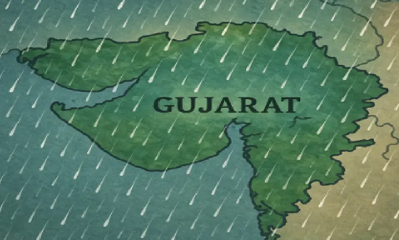
AHMEDABAD: Following the official onset of the monsoon in Gujarat, the India Meteorological Department (IMD) has predicted heavy to very heavy rainfall across various regions of South Gujarat and Saurashtra in the coming days. The weather department has issued a forecast for widespread rain accompanied by thunderstorms and high-velocity winds over the next five days, with wind speeds potentially touching 40 to 50 km/h. In light of the rough sea conditions expected along the coastline, the administration has strictly advised fishermen not to venture into the sea.
82% Rainfall Deficit Recorded in June
Addressing the seasonal statistics, Ashok Das, Director of the Meteorological Centre Ahmedabad, stated, “This year, June recorded a mere 19.9 mm of rainfall against the normal average of 110.8 mm, indicating a significant deficit of 82%. However, strong indicators suggest that this deficit will begin to clear up with the onset of July.”
District-Wise Warnings and Red Alert Schedule
The IMD has placed several regions under varying alert levels across the week:
- June 30 Alerts: Yellow and Orange alerts have been issued for Chhota Udepur, Bharuch, Narmada, Surat, Navsari, Dang, and Valsad, indicating heavy to very heavy rainfall. Good rainfall is also anticipated in Vadodara and Anand districts, while heavy showers are likely in Amreli and Bhavnagar. Ahmedabad and its neighboring areas are expected to experience a generally cloudy sky.
- July 3 and July 4 Red Alert: A Red Alert has been officially declared for Surat, Navsari, Dang, Tapi, Valsad, Daman, and Dadra and Nagar Haveli due to the likelihood of isolated extremely heavy downpours.
- July 4 to July 6 Forecast: Heavy rainfall is projected to expand across the Saurashtra-Kutch region, covering Junagadh, Amreli, Bhavnagar, Gir Somnath, Botad, and Diu.
Four Active Weather Systems to Trigger Downpours
According to meteorologists, the intense precipitation is being driven by the simultaneous activation of four major weather systems, which will cause the convergence of easterly and westerly winds.


Also Read:GSRTC Employees Get 3% DA Hike; Gujarat Government to Clear Arrears
Currently, an offshore trough extends from Maharashtra to northern Kerala, alongside another active trough running from Madhya Pradesh to Konkan-Goa. Additionally, a new Western Disturbance is expected to arrive on July 2, followed by the formation of a low-pressure system over the Bay of Bengal on July 3. The IMD has concurrently issued a “thunderstorm warning” with high winds for the next five days, prompting instructions for local administrations to remain on high alert.