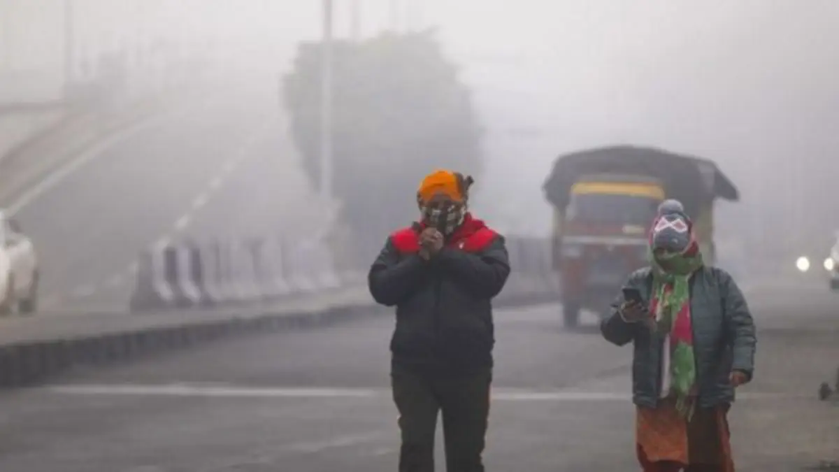
New Delhi woke up to a thick blanket of fog on Thursday, severely limiting visibility in several neighborhoods such as Moti Bagh and Dwarka. The dense haze also disrupted operations at Indira Gandhi International (IGI) Airport, causing delays to a number of flights.
The India Meteorological Department (IMD) has issued a yellow alert for cold wave conditions at isolated locations across the region. Multiple weather stations reported cold wave spells on Wednesday, with the chill showing no immediate signs of letting up.
According to IMD criteria, a cold wave is declared when the minimum temperature drops below 10 degrees Celsius and deviates 4.5 degrees or more below the seasonal norm, or when it falls to 4 degrees Celsius or lower. An IMD official confirmed that several stations experienced these conditions the previous day.
Forecasts indicate the minimum temperature will remain between 3 and 5 degrees Celsius on Thursday. A slight moderation is anticipated from Friday, with lows expected to rise to 6–8 degrees Celsius. By Sunday, nighttime temperatures could reach 8–10 degrees Celsius. This gradual easing is attributed to a feeble western disturbance approaching the area, which is likely to elevate night temperatures and weaken the cold wave intensity.
The disturbance is expected to influence the Himalayan region starting January 15, potentially bringing fresh snowfall on January 16. Wind patterns may shift to easterly directions, introducing more moisture and comparatively milder air.
ALSO READ : Iran Closes Skies Without Warning : Delhi-Bound IndiGo Flight From Georgia Makes Dramatic Escape
Daytime conditions offered limited relief on Wednesday, with the maximum temperature settling at 20 degrees Celsius—near the seasonal average. The previous day recorded a high of 21.6 degrees Celsius.
Air quality in the capital remained concerning, staying in the higher range of the very poor category. The 24-hour average Air Quality Index stood at 353 on Wednesday, a marginal improvement from Tuesday’s 360. The AQI is projected to linger in the very poor range at least until January 23.
While the immediate outlook remains harsh, the approaching weather system signals some respite in the coming days for residents enduring the prolonged winter grip. (With agency inputs)
-

-
-

-