Karachi : Pakistan has said that it approached Washington after the US posted a map that aligns with India’s official map, showing the entire region of Jammu and Kashmir and Ladakh, including Pakistan-occupied Kashmir and Aksai Chin. Parts of Jammu and Kashmir and Arunachal Pradesh are illegally claimed by Pakistan and China. “This map was put up at certain handles.
Islamabad, left red-faced by Washington’s action, claimed it was satisfied that “the US side made the requisite correction to highlight the legal UN-sanctioned map of our region, which clearly delineates Jammu and Kashmir as a disputed territory whose settlement is to be done through a UN-administered plebiscite in accordance with the UN Security Council resolutions.” The map posted by the United States Trade Representative (USTR) on February 7 had caught attention, as it was a clear departure from the historical American practice of marking PoK and Aksai Chin as disputed areas.
In the past, maps of India circulated by US authorities had carried demarcations indicating PoK and Aksai Chin as disputed areas. In contrast, the now-deleted version posted by the USTR depicted the whole region as an integral part of India. However, India has consistently maintained that the entire Union Territory of Jammu and Kashmir and Ladakh “has been, is, and will always be an integral and inalienable part of India.”
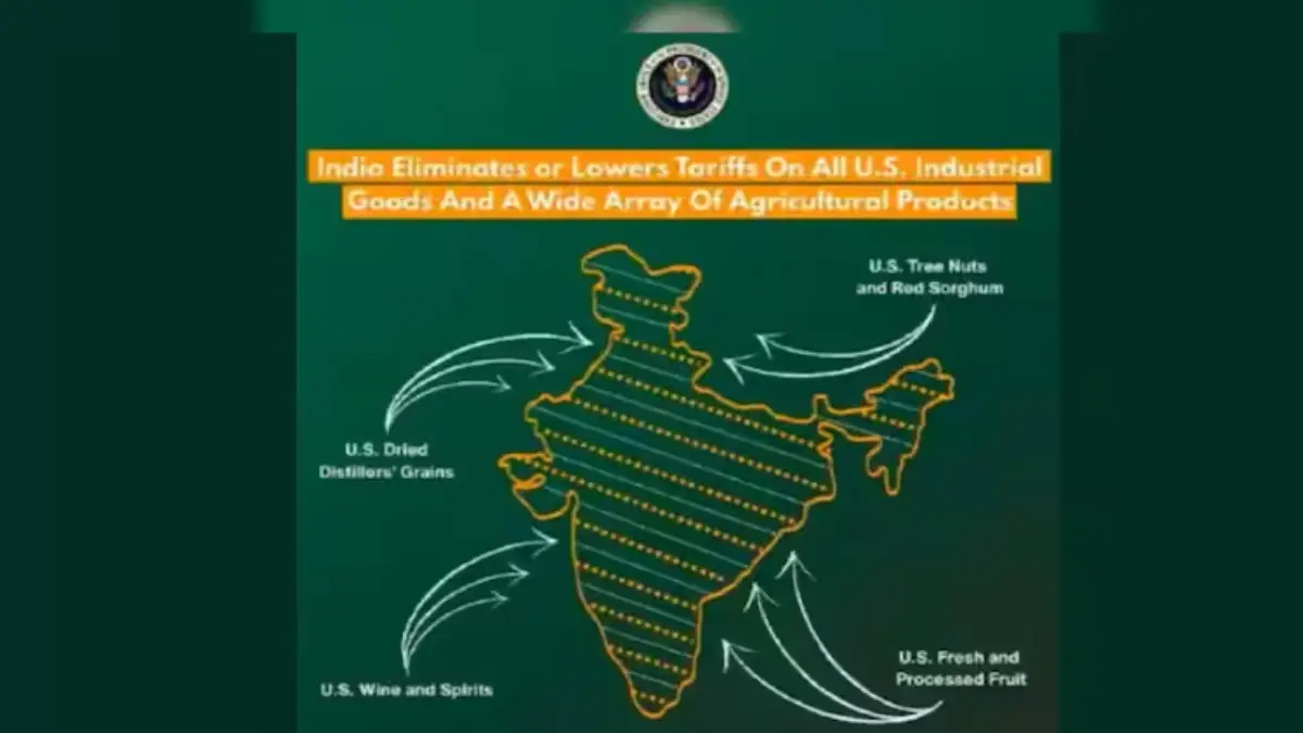
India and the United States announced a framework for a trade deal last week, resetting tariffs to lower levels and opening access to an economy worth over USD 30 trillion. While releasing details of the agreement, the Office of the US Trade Representative also published a map of India depicting the entire Jammu and Kashmir region, including Pakistan-occupied Kashmir (PoK), as part of the country. The map also included Aksai Chin, which China claims to be part of its territory.
Read Also : Delhi Schools Receive Fresh Bomb Threat Emails, Prompting Heightened Security Measures
-

-

-

-