
Nepal Can’t Confirm It Has Original 1816 Sugauli Treaty Despite Claims Over Indian Territory
Nepal’s government has said it cannot confirm whether it possesses the original signed 1816 Sugauli Treaty, the very document on the basis of which it has been laying claims to parts of Indian territory. The treaty defined Nepal’s boundary with British India. The revelation marks a setback for Nepal, which has repeatedly issued statements on the Lipulekh-Kalapani-Limpiyadhura dispute with India.
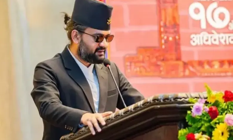
The Nepalese government informed its Parliament that it could not confirm whether it possessed the original 1816 Sugauli Treaty papers. Nepal’s Foreign Minister Shisir Khanal indicated on the floor of the Pratinidhi Sabha, the lower house of Nepal’s Parliament, that the government cannot confirm if it possesses the original document of the treaty.
While some papers exist in the National Archives, extensive searches across state departments failed to locate the definitive, original signed document, the minister said. A parliamentary enquiry that searched archives, ministries, and museums also failed to locate the original treaty papers.
Nepal claims that Lipulekh, Limpiyadhura, and Kalapani belong to it, while India maintains the areas are part of its Uttarakhand state.



Dispute Hinges on Contrasting Interpretations of Kali River’s Origin
The border dispute, which has repeatedly strained bilateral ties, hinges substantially on contrasting interpretations of where the Kali, or Mahakali, river originates, since the treaty designated the river as Nepal’s western boundary.
Former Nepal PM KP Sharma Oli turned the territorial dispute into a nationalist issue in 2020, when his government was facing political trouble. His administration published a new political map incorporating all three disputed areas and secured its endorsement from Parliament through a constitutional amendment. India rejected the move as an “artificial enlargement” of Nepal’s territorial claims, after which bilateral relations came under strain.
The revelation about the missing original treaty papers comes months after Nepal’s new PM Balen Shah stirred controversy of his own. Shah told Parliament, “After becoming prime minister, I came to know that not only has India encroached on Nepal’s land, but Nepal has also encroached on India’s land in multiple places.” When the statement became a talking point, Nepal’s foreign ministry clarified that the PM was referring to technical cross-border occupations and said Kathmandu’s position on the disputed territories remained unchanged.
East India Company and Nepal Signed Treaty in 1816
The 1816 Sugauli Treaty was signed between British-ruled India, represented by the East India Company, and Nepal following the Anglo-Nepalese War, which Nepal had lost. The signatories were Lieutenant Colonel Paris Bradshaw on behalf of the East India Company and Raj Guru Gajraj Mishra on behalf of Nepal’s ruler, King Girvan Yuddha Bikram Shah.
Also Read:India Become Commonwealth Fencing Champions For The First Time Among 20 Nations
The India-Nepal border is now managed through the Indo-Nepal Treaty of Peace and Friendship of 1950, along with technical documents produced by joint bilateral working groups.
The main point of dispute along the border concerns the Kalapani region in the Greater Himalayas, which lies within India’s borders. When the Home Ministry issued new maps in 2019, Nepal objected, claiming the maps identified the region as “an unsettled territory of the Darchula district” within Nepal’s Sudurpashchim province.
The India-Nepal border dispute intensified further after India and China agreed to reopen the Lipulekh Pass trade route. Nepal reiterated its claim that Lipulekh, Limpiyadhura, and Kalapani are its territories. Nepal’s Foreign Affairs Ministry later said the unresolved border issues would be addressed through diplomatic dialogue and mutual understanding with India.