Ahmedabad: The India Meteorological Department’s latest bulletin says the past 24 hours have been largely dry across Saurashtra-Kutch, Diu, Daman, and Dadra & Nagar Haveli. Maximum temperatures in these regions haven’t shifted much coastal Saurashtra has actually dipped below normal, while South Gujarat is marginally cooler. Inland Saurashtra, however, is running warmer than usual. Rajkot logged the state’s highest maximum at 38.5°C. Mahuva recorded the lowest minimum at 16.5°C.
Western Disturbance Now Active
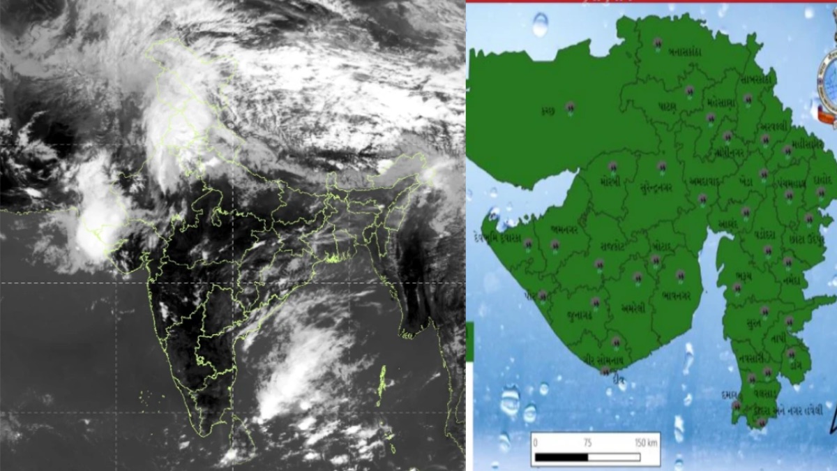
A new upper-air cyclonic circulation has formed over Rajasthan at 1.5 km above sea level. A Western Disturbance is also sitting at 5.8 km altitude.

Over the next seven days, maximum temperatures across Gujarat, Diu, Daman, and Dadra & Nagar Haveli are expected to ease by 2–3°C. Minimum temperatures will fall by the same margin in the next three days before climbing back up.
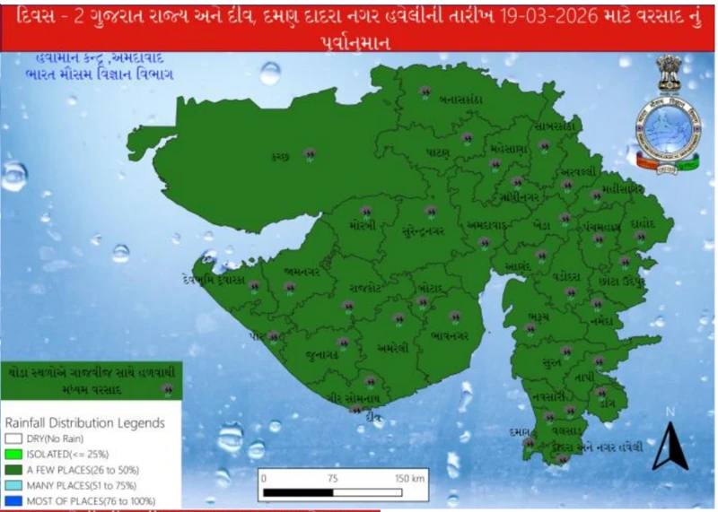
Where Will It Rain on March 19?
On March 18, light rain hit Banaskantha, Patan, Dang, Navsari, Tapi, and Valsad, among other districts. That night, winds of 40–50 km/h swept through many parts of the state, kicking up dust.
On March 19, winds could again touch 50 km/h. The IMD has forecast scattered thundershowers ranging from light to moderate across a wide swath of the state: Banaskantha, Patan, Mehsana, Sabarkantha, Gandhinagar, Aravalli, Kheda, Ahmedabad, Anand, Panchmahal, Dahod, Mahisagar, Vadodara, Chhota Udaipur, Narmada, Bharuch, Surat, Dang, Tapi, Navsari, Valsad, Daman, Dadra & Nagar Haveli, Surendranagar, Rajkot, Jamnagar, Porbandar, Junagadh, Amreli, Bhavnagar, Morbi, Dwarka, Gir Somnath, Botad, Kutch, and Diu.
In Ahmedabad, skies will remain mostly cloudy. Maximum temperature is expected around 36°C and the minimum near 23°C. Dust storms were already reported in the city on the morning of March 19, with winds strong enough to damage sheds and topple hoardings in some parts of the state. Surendranagar and Patan were under heavy cloud cover. Vav-Tharad in Banaskantha saw particularly strong winds. After March 20, clear weather is expected across Gujarat.
Rest of India
The same weather system is bringing relief to North India as well. A Western Disturbance that activated on March 14 has been producing scattered rain. Another one is set to become active from March 23 and is forecast to persist through March 27.
According to a Times of India report, Srinagar’s maximum temperature was 19.4°C on March 14 by March 18, it had dropped to 11°C. Higher reaches of Himachal Pradesh received snowfall. Delhi saw its mercury peak at 36.8°C on March 11, which was 8.4 degrees above normal. By March 15, it had come down to 30.1°C, and the forecast for March 20 puts it at around 27°C.
-

-

-

-