Delhi experienced a dramatic shift in weather on Monday afternoon as a powerful dust storm swept through the city, accompanied by intense gusts that disrupted normal life. Strong winds, reaching speeds of up to 92 kilometres per hour in the Palam area around 2:30 pm, reduced visibility and created hazardous conditions across several neighbourhoods.
The storm was followed by a thunderstorm bringing light to moderate rainfall, along with frequent lightning. Authorities had issued a red alert in anticipation of these developments, warning residents of the potential for severe weather. Gusty winds between 70 and 90 kmph were reported during the peak of the event, with forecasts indicating continued strong winds of 60 to 70 kmph, occasionally gusting up to 80 kmph, in various parts of the capital.
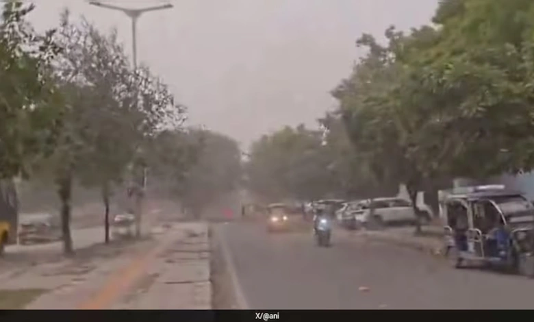
Video footage from the time captured the sudden onset of the dust storm, showing swirling winds engulfing areas such as Dwarka Sector 12 near the metro station. The combination of dust, wind, and rain brought a brief respite from the heat but also posed risks of flying debris and localized disruptions.
Earlier in the day, the city had already seen light rainfall during the morning hours. The minimum temperature recorded at Delhi’s main weather station in Safdarjung stood at 28.2 degrees Celsius, which was slightly above the seasonal average by 0.7 degrees.


Meteorological observations linked this abrupt change to a western disturbance influencing the Himalayan region. Experts noted that the system’s effects are expected to ease starting Tuesday, potentially leading to a gradual rise in temperatures once the disturbance moves away.
The sequence of events morning showers, followed by afternoon dust storm and thunderstorm highlighted the variable nature of Delhi’s pre-monsoon weather patterns. Residents were advised to exercise caution during such spells, particularly regarding travel and outdoor activities amid strong winds and lightning.
This latest weather episode serves as a reminder of the dynamic atmospheric conditions that can rapidly transform a hot summer day into one marked by storms and cooling rains. As the disturbance weakens, normalcy is likely to return, though temperatures may climb again in the coming days.